
Ariadne
Festivals · iOS · In development
Find your tent, even with no signal
At three in the morning, every tent on the campsite looks the same, and the mobile network has given up because tens of thousands of people are sharing one mast. GPS still works, though, because the signal comes straight from the satellites. So when you pitch your tent, stand next to it and tap “Ort merken” (save location). Later, a big arrow shows you which way to go and how far it is.
For the last few metres, add a photo and a note like “Row C, next to the blue gazebo”. A radar that connects iPhones directly helps you find your friends in the crowd. Ariadne keeps everything on your device and doesn't need an account or a server.
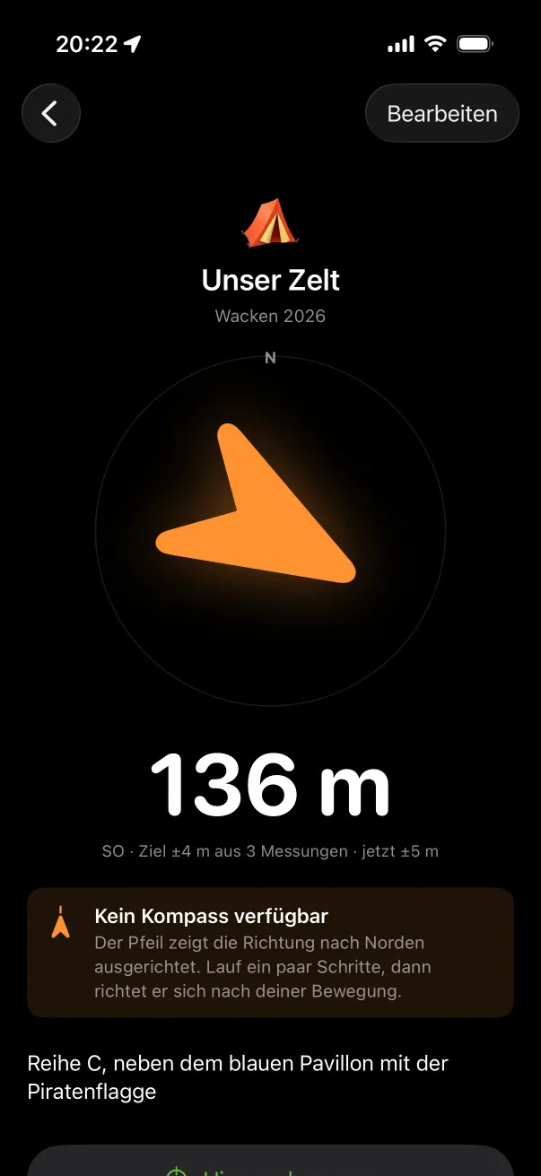
Preview
Real screenshots from the iOS Simulator.
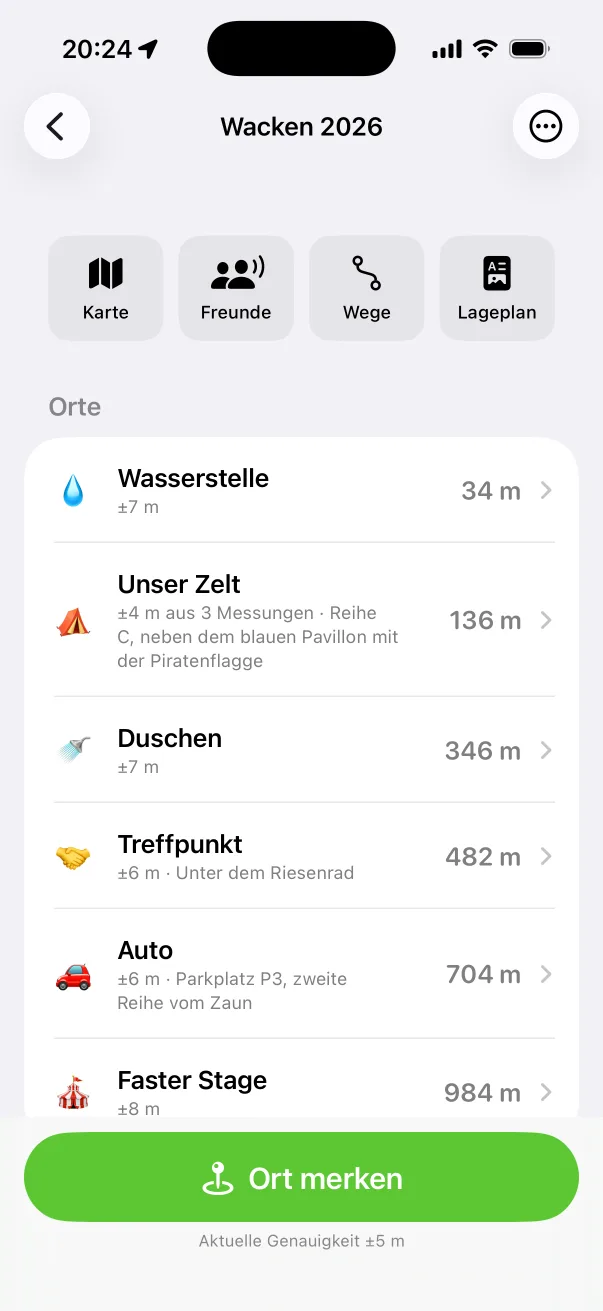
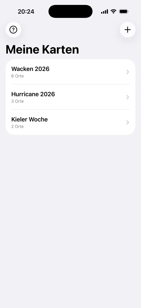
What Ariadne can do
- Directions without signal
- An arrow and the distance in metres, even when there's no mobile signal on site.
- More accurate with every visit
- Whenever you pass your tent, tap “Hier nachmessen” (measure again). The app combines the new reading with the earlier ones, so the saved location gets more accurate.
- Friend radar
- Nearby iPhones find each other directly over Bluetooth and Wi-Fi, and at close range via Ultra Wideband too.
- Share with a QR code
- The coordinates are stored in the code itself. Your friend scans it and has the location, without anything being uploaded.
- Retrace your steps
- The app records the route you walked and guides you back point by point. Handy when there's a construction fence between you and your tent.
Help & support
FAQs about Ariadne and how to reach us directly.
OpenPrivacy policy
We'll publish it here before Ariadne is released.